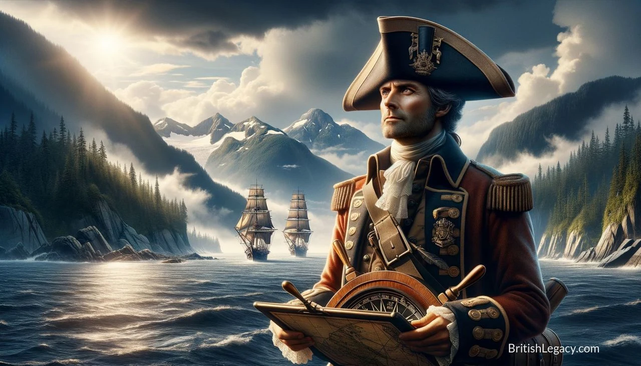
George Vancouver’s name is carried by a Canadian island and city, but his most consequential work was less visible: the careful surveying of a vast and difficult coastline. Leading an expedition from 1791 to 1795, the Royal Navy captain charted much of the north-west Pacific coast. His maps became important aids to navigation, while the expedition’s wider travels took it to the Pacific islands and the south-west coast of Australia.
From King’s Lynn to the Royal Navy
Vancouver was born in King’s Lynn, Norfolk, on 22 June 1757, the youngest of six children of John Jasper Vancouver, a customs official, and Bridget Berners. In 1771, aged 13, he entered the Royal Navy as a young gentleman, a prospective midshipman. He sailed on James Cook’s second Pacific voyage aboard HMS Resolution, and on Cook’s third voyage, serving aboard Discovery, the companion ship to Resolution.
Those voyages gave Vancouver experience of long-distance navigation and surveying. He was present during the first European sighting and exploration of the Hawaiian Islands. After returning to Britain in 1780, he became a lieutenant and served in the English Channel and North Sea. In 1782 he joined HMS Fame in the West Indies and took part in the Battle of the Saintes before returning to England the following year.
By the late 1780s, rivalry between Britain and Spain over Nootka Sound and the right to settle the north-west coast had brought the countries close to war. The first Nootka Convention, in 1790, ended that immediate crisis. Vancouver was then given command of HMS Discovery, with orders to take possession of Nootka Sound and survey the coast.
A four-year survey of the Pacific
Vancouver left England on 1 April 1791 with Discovery and HMS Chatham. The expedition’s route included Cape Town, Australia, New Zealand, Tahiti and Hawaii, then commonly called the Sandwich Islands. It collected botanical specimens and surveyed coastlines along the way. At King George Sound in Western Australia, Vancouver formally claimed land for Britain at Possession Point, where the town of Albany later developed.
In 1792 the ships reached the coast of North America. Vancouver surveyed the coasts of what are now Oregon and Washington before entering the Strait of Juan de Fuca on 29 April. Much of the detailed work was carried out by boat parties using small craft propelled by sail and oar: large sailing ships were difficult and dangerous to manoeuvre through uncharted waters.
Vancouver met the American captain Robert Gray off the Oregon coast. Gray had already entered the Columbia River, and Vancouver later sent Lieutenant William Robert Broughton to investigate it by boat. Broughton reached the Columbia River Gorge and named Mount Hood. Vancouver also surveyed the coast of California, visiting San Francisco Bay and Monterey, and spent winters exploring Hawaii.
At Nootka Sound in August 1792, Vancouver met the Spanish commander Juan Francisco Bodega y Quadra. The two men exchanged maps and maintained cordial relations, but did not reach agreement over the territorial question; they agreed to await further instructions. The island where Nootka lay was named Quadra and Vancouver Island. As Spanish influence declined, the name was shortened to Vancouver Island.
In 1793 and 1794, the expedition continued its surveys northwards, including around islands and inlets in what is now British Columbia and south-east Alaska. Vancouver reached Cook Inlet, the northernmost point of his exploration, in 1794. He sailed back to Britain by way of Cape Horn, completing a circumnavigation of the globe and returning in September 1795.
What the charts established—and what they missed
Vancouver’s survey made the complicated coastline more legible to navigators. His charts of the north-west coast were noted for their accuracy and remained useful for generations. His work also established that the Northwest Passage did not exist at the latitudes where it had long been sought. The expedition’s achievement lay not in finding a route between the Atlantic and Pacific, but in recording the coast and its many inlets and islands with unusual care.
The survey was extensive, not complete. Vancouver did not chart the Fraser River or the Columbia River on his maps, although he learned of the Columbia from Gray and sent Broughton to examine it. He also missed the Skeena River. These gaps matter to the history of the expedition: precision in mapping hundreds of coastal features did not mean that every major river was found or recorded.
His journals also register encounters with Indigenous communities in the Pacific Northwest, California and Hawaii. They describe generally peaceful relations, while the expedition’s final season included a serious clash with Tlingit people at Behm Canal in 1794. Vancouver criticised traders who, in his view, provoked conflict by supplying weapons. His records offer evidence of his observations and attitudes, but do not make the expedition’s encounters uniformly harmonious.
Return, death and remembrance
After returning to England, Vancouver settled in Petersham, then in Surrey and now part of London. His return was difficult. The naturalist Archibald Menzies complained about his servant being pressed into service during a shipboard emergency, and sailing master Joseph Whidbey disputed his pay. Thomas Pitt, Lord Camelford, whom Vancouver had disciplined and sent home, harassed him and challenged him to a duel. Vancouver declined to answer privately for decisions made in his official capacity. Pitt later assaulted him in London; the dispute continued publicly until Vancouver’s death.
Vancouver died in Petersham on 10 May 1798, aged 40, less than three years after completing the voyage. No official cause of death was recorded. His brother John completed the narrative of the expedition, A Voyage of Discovery to the North Pacific Ocean, and Round the World, which was published in three volumes later that year.
He was buried in the churchyard of St Peter’s Church, Petersham. The Hudson’s Bay Company placed a memorial plaque in the church in 1841, and his grave was later renovated. His namesakes extend well beyond Britain: Vancouver Island and the city of Vancouver in British Columbia, among other places, bear his name. In King’s Lynn, his birthplace, a statue and the Vancouver Quarter shopping centre commemorate him.
Why Captain George Vancouver deserves a place in British Legacy
Vancouver’s place in British history rests on a specific achievement: leading a demanding survey that greatly improved European navigational knowledge of the north-west Pacific coast. The expedition’s charting work, much of it undertaken in small boats, recorded complex waters that large ships could not safely explore in detail. Its charts remained useful for generations. That practical legacy is more substantial than a broad claim to have “discovered” the region: Indigenous peoples already lived there, and European explorers and surveyors had preceded or worked alongside Vancouver in parts of it.
His career also connects British naval service with a wider history of exploration, diplomacy and imperial rivalry. The voyage circumnavigated the globe, surveyed coastlines in several regions and encountered Spanish expeditions during a period of competing claims. Vancouver’s dealings with Bodega y Quadra were cordial, but they did not settle the territorial dispute, and the expedition’s record includes omissions and conflict as well as careful observation. Remembering those limits makes his contribution clearer, not smaller. His charts helped mariners understand a difficult coast, while his journals and the places named for him continue to shape how the expedition is remembered in Britain and abroad.
Sources
George Vancouver — revision 1371292427 · George Vancouver
Adapted in part from George Vancouver by Wikipedia contributors, under CC BY-SA 4.0. Text has been edited and combined with the existing article; this adapted text is shared under the same licence. Contributor history.