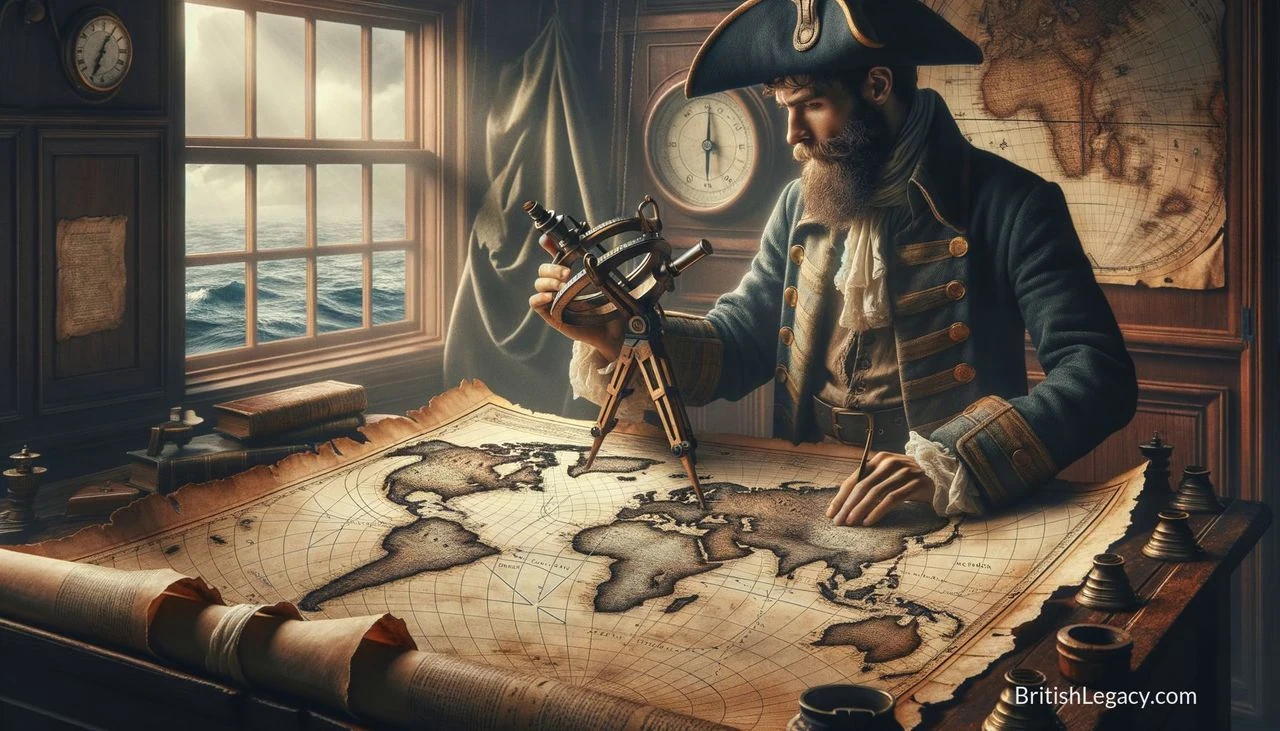
James Cook’s charts made him a leading naval surveyor; his Pacific voyages made his name familiar far beyond the Royal Navy. Between 1768 and 1779 he led three expeditions that charted coastlines and islands, gathered scientific observations and brought British ships into contact with Indigenous peoples across the Pacific. The records expanded European geographical knowledge, but the voyages also involved violence, the claiming of Indigenous lands and the transmission of disease. Both the precision of Cook’s work and the consequences of his expeditions belong in any account of his legacy.
From Yorkshire to the Royal Navy
Cook was born on 7 November 1728 in Marton, in Yorkshire, the second of eight children. His father, James, was a Scottish farm labourer; his mother, Grace Pace, came from Thornaby-on-Tees. The family moved to a farm at Great Ayton in 1736, where Cook attended a school supported by his father’s employer. In 1741 he began working for his father, who had become a farm manager.
At 16, Cook moved to the fishing village of Staithes to work as an apprentice shop assistant. After 18 months he left for Whitby and joined the merchant fleet of shipowners John and Henry Walker. He learned his trade aboard coastal coal ships, studying mathematics, navigation and astronomy alongside practical seamanship. He later sailed merchant vessels in the Baltic. Offered promotion to captain of a merchant ship in 1755, he instead joined the Royal Navy on 17 June that year.
Cook served in North America during the Seven Years’ War. In 1758 he took part in the British capture of Louisbourg, in Nova Scotia. There he met the surveyor Samuel Holland, who introduced him to land-surveying methods. The two worked on charts of the St Lawrence River entrance. During the campaign against Quebec in 1759, Cook and other ship’s masters took soundings and marked hazards to help vessels navigate the river. His charting combined practical hydrography with increasingly rigorous surveying.
Newfoundland and the making of a surveyor
After the war, Cook was assigned to chart Newfoundland’s coast. Over five seasons, from 1763 to 1767, he surveyed different stretches of the island, using local pilots to identify rocks and other dangers. He also recorded a solar eclipse in 1766; the observations were compared with measurements made in Oxford to calculate the difference in longitude. The result was used in his printed sailing directions for Newfoundland.
These surveys brought Cook to the attention of the Admiralty and the Royal Society. His North American work was not simply a prelude to the Pacific voyages: it demonstrated the charting and observational abilities that helped lead to his appointment to command HMS Endeavour. In 1768 he was selected to lead an expedition whose public purpose was to observe the transit of Venus from Tahiti. Secret orders also instructed him to search for the proposed southern continent, Terra Australis, and to claim land for Britain.
Three voyages across the Pacific
On the first voyage, from 1768 to 1771, Cook and his crew observed the transit of Venus in Tahiti, then sailed to New Zealand and Australia. Cook completed the first recorded circumnavigation of New Zealand’s main islands, charting almost all their coastline. In 1770 the Endeavour reached Australia’s eastern coast. Cook charted the coast northwards, and at Possession Island claimed for Britain the Australian coastline he had surveyed.
These encounters were not simply acts of mapping. In New Zealand, the expedition’s first encounters with Māori turned violent, and British crew members shot several people. At Botany Bay, two Gweagal men opposed the landing; one was wounded with small shot. Later, near the Endeavour River, a dispute over turtles led Cook to order shots fired, lightly wounding a local Guugu Yimithirr person. Cook’s journals and charts document exploration, but the expedition’s progress also depended on encounters with people whose lands and customs the British did not control.
Cook’s second voyage, from 1772 to 1775, sought to establish whether Terra Australis existed. Commanding HMS Resolution alongside HMS Adventure, he crossed the Antarctic Circle and pushed south through difficult conditions. The ships became separated; Cook later continued alone after missing the rendezvous with Adventure. He explored parts of the southern Pacific, including Easter Island, Tonga and New Zealand. His voyage helped establish that no large southern continent extended into the temperate latitudes he had surveyed.
The expedition also faced serious human costs. After Adventure became separated from Cook, ten of her crew were killed in a violent encounter with Māori in New Zealand. Cook later returned to the area but did not know of the killings at the time. During the voyages, Cook promoted dietary measures and hygiene to prevent scurvy, a serious illness among sailors. The Royal Society awarded him the Copley Medal for his work on prevention.
Cook’s third voyage, from 1776 to 1779, sought a North-West Passage connecting the Pacific and Atlantic. Sailing again in the Resolution, with HMS Discovery, he charted parts of the North American north-west coast and reached the Bering Strait, where sea ice blocked further progress. On the way, the expedition made the first recorded European visit to the Hawaiian Islands in January 1778. Cook’s ships later returned to Hawaii and anchored at Kealakekua Bay.
Contact, conflict and Cook’s death
Cook’s instructions called for civility and trade with Indigenous peoples. He often sought to establish relations through exchanges of gifts and names, and relied on Polynesian visitors such as Tupaia as interpreters and advisers. But the encounters were shaped by unequal power. When the British believed property had been stolen or their safety was at risk, Cook and his crew sometimes seized canoes, detained leaders or used firearms. In New Zealand and Hawaii, encounters resulted in deaths. Cook’s own journal recognised that British visitors could disrupt Indigenous life, including by introducing new wants and diseases.
In February 1779, after a cutter was stolen at Kealakekua Bay, Cook attempted to take the Hawaiian king Kalaniʻōpuʻu hostage to secure its return. A crowd gathered as the king was led towards the boats. During the ensuing confrontation, Cook fired at a Hawaiian man; fighting continued, and Cook and four marines were killed. The expedition’s surviving officers later buried Cook’s remains at sea. HMS Resolution and Discovery continued north, again failed to find a passage through the ice, and returned to England in 1780.
Charts, science and the limits of exploration
Cook’s voyages produced extensive charts and observations, aided by the work of the scientists and artists who travelled with the expeditions. The first voyage’s naturalists collected more than 3,000 plant species. On later voyages, Cook carried Larcum Kendall’s K1 chronometer, which helped determine longitude at sea. His Newfoundland charts were notable for their accuracy, while his Pacific surveying added detail to European charts of coastlines and islands.
The voyages also generated accounts that circulated widely in Europe. They recorded languages, practices, landscapes and natural history, but such records were made through a European expedition and reflected its assumptions. Contact brought cultural exchange as well as coercion: Pacific Islanders and British sailors traded, learned from one another and sometimes formed relationships, while British expeditions claimed territories and contributed to the spread of infectious diseases. Cook’s reputation cannot be reduced either to the technical achievement of his charts or to a simple account of discovery. The same voyages that enlarged European knowledge had grave consequences for many of the people encountered.
Why James Cook deserves a place in British Legacy
Cook’s place in British history rests first on specific work: the Newfoundland surveys, the navigation and charting of the St Lawrence, and three long Pacific expeditions. His charts helped make difficult coastlines more legible to mariners, while his astronomical observations and the use of the K1 chronometer advanced the practical determination of longitude. The voyages also brought together surveying, navigation, natural history and written observation on a remarkable scale. These achievements connect Cook’s career to Britain’s naval and scientific history, rather than to a vague national story of adventure.
That legacy must also include what exploration meant for the people whose homes and knowledge the expeditions encountered. Cook’s ships claimed territory for Britain, and conflicts in New Zealand and Hawaii caused deaths; European contact also helped spread diseases to populations with no prior resistance. Remembering Cook responsibly means keeping those consequences alongside his technical accomplishments, not treating them as an afterthought. His story offers British Legacy a way to examine how knowledge was produced, how maritime power shaped encounters, and how public memory changes when Indigenous perspectives are taken seriously. Cook matters not as an uncomplicated hero, but as a consequential figure whose work and its costs remain inseparable.
Sources
James Cook — Wikipedia revision 1379654726
Adapted in part from James Cook by Wikipedia contributors, under CC BY-SA 4.0. Text has been edited and combined with the existing article; this adapted text is shared under the same licence. Contributor history.