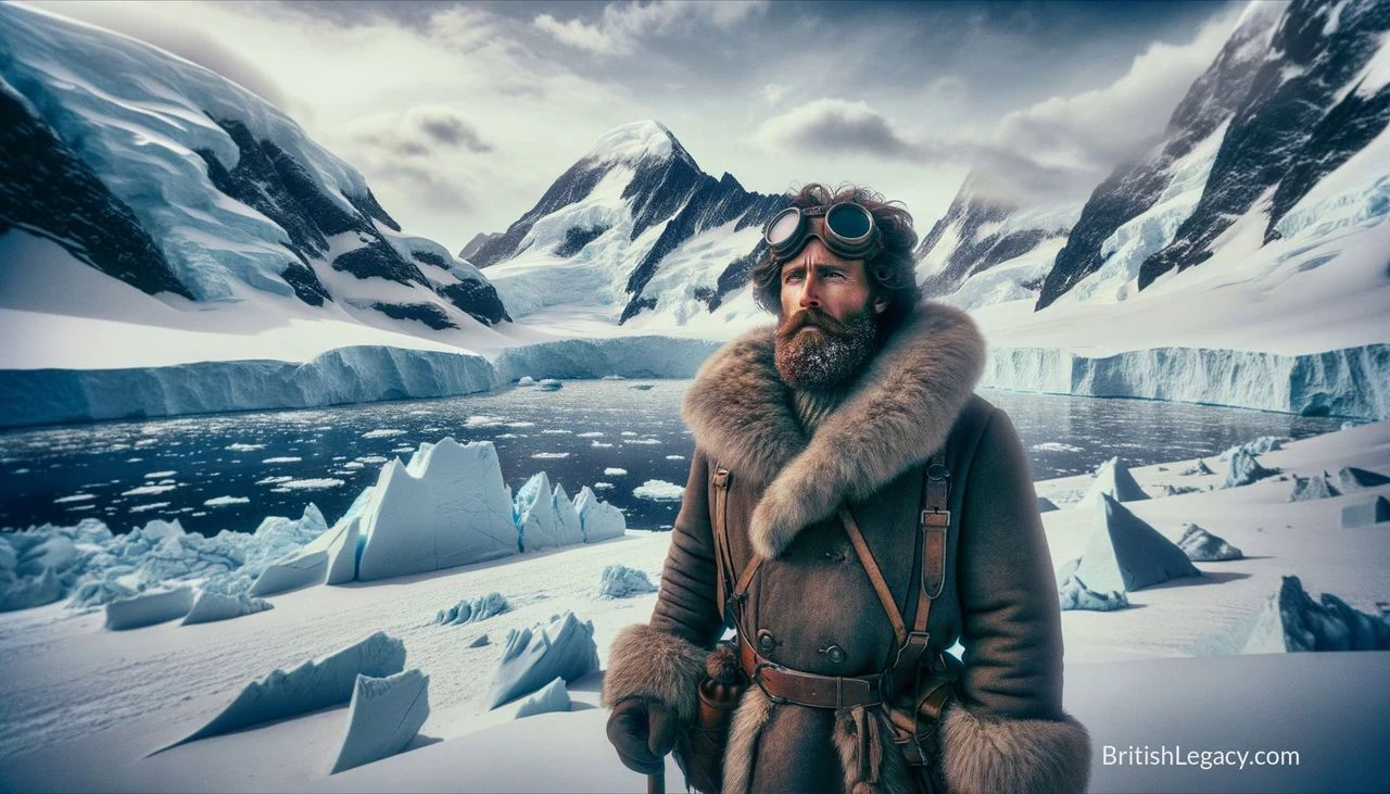
James Clark Ross went to sea as a boy and spent much of his career investigating the polar regions. He served on Arctic voyages led by his uncle, John Ross, and by William Edward Parry; in 1831, he helped locate the North Magnetic Pole. Later, commanding HMS Erebus on a four-year Antarctic expedition, he charted hundreds of miles of coastline and encountered the vast ice barrier that would bear his name. His career joined naval service and geographical discovery with sustained work in magnetic observation.
A young officer in the Arctic
Ross was born in London on 15 April 1800, the son of George Ross and nephew of naval officer John Ross. He entered the Royal Navy on 5 April 1812, aged 11, and served during the Napoleonic Wars. On 9 October that year, he was present when HMS Briseis, commanded by his uncle, captured the French privateer Le Petit Poucet. He subsequently served with his uncle aboard HMS Actaeon and HMS Driver.
His early career brought a succession of Arctic voyages. In 1818, he joined John Ross’s unsuccessful search for a Northwest Passage aboard Isabella. From 1819 to 1827, he took part in four expeditions under William Edward Parry. Ross developed an interest in magnetism and natural history, and served alongside Francis Crozier, who later became a close friend and his second-in-command in Antarctica.
Ross again sailed with his uncle from 1829 to 1833. During that expedition, a party led by James Ross located the North Magnetic Pole on the Boothia Peninsula in northern Canada on 1 June 1831. Ross personally planted the British flag there. He also charted the Beaufort Islands, later renamed the Clarence Islands by John Ross. The expedition’s magnetic work was a foundation for the next stage of his career, which included taking part in the British Magnetic Survey from 1835 to 1839.
Magnetic work and naval service
The British Magnetic Survey brought Ross together with Edward Sabine, John Phillips and Humphrey Lloyd. The work included geomagnetic measurements in Ireland in 1834–35 and observations at 12 Irish stations completed by Ross in 1838. During the survey, he identified anomalous results at Westbourne Green; in 1837, he assisted T. C. Robinson in improving the dip circle used to measure magnetic inclination.
His service also included an urgent voyage to Baffin Bay. In December 1835, Ross offered to resupply 11 whaling ships trapped there. He sailed in HMS Cove in January 1836, but the difficult crossing took months. By the time he reached the whalers’ last known position in June, all but one had returned home. Ross found no trace of the missing vessel, William Torr, which was probably crushed by ice. He returned to Hull in September with his crew in good health. Promoted to captain in 1834, he was then appointed to lead a major expedition south.
Four years in the Antarctic
In April 1839, Ross received orders to command an expedition for magnetic research and geographical discovery. He sailed in HMS Erebus, with Crozier commanding HMS Terror and serving as his second-in-command. The ships were bomb vessels, built with strong hulls to withstand the recoil of heavy weapons; that construction also helped them resist thick ice. The expedition included the naturalist Joseph Dalton Hooker and surgeon Robert McCormick.
Before reaching the Antarctic, the expedition established magnetic measurement stations at Saint Helena, Cape Town and Kerguelen. It reached Hobart in early 1840, where Ross established another permanent station with the help of the governor, John Franklin. After waiting for the southern summer, the ships crossed the Antarctic Circle on 1 January 1841. Ross discovered the Ross Sea and Victoria Land, charting about 900 kilometres of new coastline. He named Possession Island and Franklin Island, and reached the island later named Ross Island after him. Its volcanoes, Mount Erebus and Mount Terror, took their names from the expedition’s ships.
The ships sailed for 250 nautical miles along the edge of a low, flat-topped ice shelf. Ross called it the Barrier or the Great Ice Barrier; it later became known as the Ross Ice Shelf. The expedition’s objective included determining the position of the South Magnetic Pole. Ross did not reach the pole, but he determined its location, and the expedition produced the first accurate magnetic maps of Antarctica.
After overwintering in Tasmania, Ross returned to the Ross Sea in December 1841 and continued east, past Marie Byrd Land, towards the Antarctic Peninsula. The expedition spent the following winter in the Falkland Islands, then surveyed the peninsula during the 1842–43 summer. Ross explored the eastern side of what is now James Ross Island and discovered Snow Hill and Seymour islands. The ships returned to England on 4 September 1843.
Later service and recognition
Ross’s polar work did not end with the Antarctic expedition. In 1848, he took command of HMS Enterprise in one of several searches for John Franklin’s lost expedition, accompanied by HMS Investigator. Heavy ice in Baffin Bay prevented him from getting beyond the north-eastern tip of Somerset Island. Ross and Leopold McClintock explored the island’s west coast by sledge. Ross recognised Peel Sound but judged it too blocked by ice for Franklin to have used; Franklin had in fact travelled through it in 1846, when sea-ice conditions were unusually low. Ross’s next attempt to reach Wellington Channel was also stopped by ice, and he returned to England.
Ross received the Grande Médaille d’Or des Explorations in 1843, was knighted in 1844 and was elected to the Royal Society in 1848. He remained in the Navy, rising to Rear-Admiral of the Red in August 1861. In 1843, he married Ann Coulman; they had four children. Coulman died in 1857. Ross died at Aston Abbotts, Buckinghamshire, on 3 April 1862, and was buried with his wife in the parish churchyard of St James the Great. A blue plaque marks his home in Eliot Place, Blackheath.
Names on the map
Ross’s name remains attached to features across both polar regions. In Antarctica, these include the Ross Sea, Ross Island, the Ross Ice Shelf and the Ross Dependency. Arctic tributes include James Ross Strait, Ross Bay, Ross Point and Rossøya. Other commemorations include Mont Ross in the Kerguelen Islands and the lunar crater Ross. The names record the reach of his voyages, but the work behind them was not simply a matter of placing labels on a map: his expeditions combined surveying with attempts to answer questions about the Earth’s magnetic field.
The record also has limits. Ross’s Antarctic expedition set out to locate the South Magnetic Pole but did not reach it; its achievement was to determine the pole’s position and produce magnetic maps. His later search for Franklin likewise ended without finding the lost expedition. The distinction between an expedition’s objective and what it accomplished matters to any account of exploration: Ross’s significance rests on the discoveries and observations he made, not on every goal being achieved.
Why Sir James Clark Ross deserves a place in British Legacy
Ross merits a place in British Legacy because his career connects British naval service with significant advances in the mapping and study of the polar regions. As a young officer, he took part in Arctic voyages before leading the party that located the North Magnetic Pole in 1831. His later work on the British Magnetic Survey extended that interest into systematic measurement in Britain and Ireland. On his Antarctic expedition, he charted about 900 kilometres of previously uncharted coastline, discovered the Ross Sea and Victoria Land, and contributed the first accurate magnetic maps of Antarctica. These were practical gains in geographical and scientific knowledge, achieved through years of voyages in demanding conditions.
His story is also worth remembering for its precision about success and uncertainty. Ross did not reach the South Magnetic Pole, and his search for Franklin did not find the missing expedition. Yet he determined the pole’s location, documented new coastlines and left observations that later navigators and researchers could build on. The lasting names of the Ross Sea and Ross Ice Shelf make his part in Antarctic exploration visible, while his Arctic work and magnetic surveys show a broader contribution than those familiar landmarks alone. In a British context, his legacy is not a general claim to national greatness; it is the specific record of a Royal Navy officer whose exploration and measurement enlarged geographical understanding.
Sources
James Clark Ross — Wikipedia revision
Adapted in part from James Clark Ross by Wikipedia contributors, under CC BY-SA 4.0. Text has been edited and combined with the existing article; this adapted text is shared under the same licence. Contributor history.