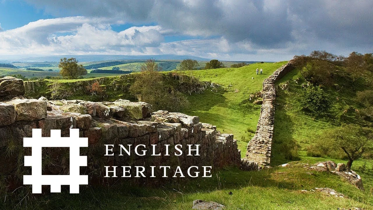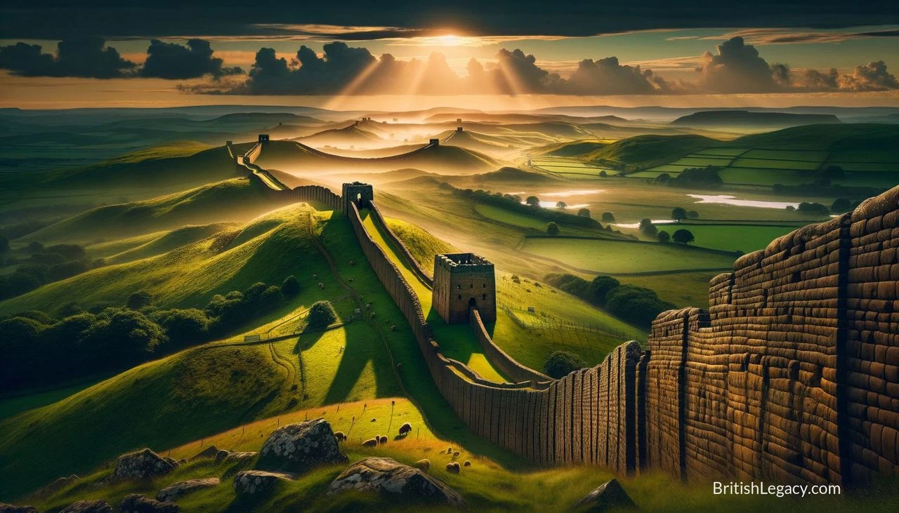
Hadrian’s Wall runs for 73 miles across northern England, from Wallsend on the River Tyne to the Solway coast. Begun in AD 122 under the Emperor Hadrian, it was not simply a barrier of stone: forts, milecastles, turrets and earthworks made it a working frontier, where Rome could watch and regulate movement as well as defend its province. Its surviving remains now offer a view of Roman military organisation and of the people who lived on either side of the frontier.
A frontier built across the island
The wall crossed the island from east to west, following a route slightly north of the earlier Roman road known as the Stanegate. At its western end, the curtain wall reaches the shore near Bowness-on-Solway; the associated frontier system continued farther along the Cumbrian coast. The route passes through varied terrain, including the central escarpment of the Whin Sill, where natural cliffs added to the difficulty of crossing.
Construction began in Hadrian’s reign, but the wall did not take a single, unchanging form. Sections were built in stone and turf, and parts of the turf wall were later replaced with stone. The breadth of the stonework also varies: evidence of wider and narrower sections points to a change of plan as work proceeded. None of the surviving masonry stands at its original height. The historian Bede, writing in the eighth century, described a wall 12 feet high and eight feet broad, though the remains seen today are chiefly footings and lower courses.
Three Roman legions—the Second Augusta, Sixth Victrix and Twentieth Valeria Victrix—provided much of the workforce. Soldiers brought skills including surveying, engineering, masonry and carpentry. The finished frontier combined the wall with forts, milecastles and turrets. A tower stood roughly every third of a mile, while the milecastles controlled crossings and the larger forts housed substantial garrisons. South of the wall, the Vallum formed another major earthwork: a ditch between two parallel mounds. Its relationship to the wall and the precise sequence of construction have been debated, and the evidence does not support treating the frontier as one simple line of defence.
More than a defensive barrier
The wall’s military purpose was real, but its gates also provided points where movement could be monitored, permitted or stopped. They may have served as customs posts. The barrier could slow raiders and alert Roman troops to danger; it could also channel people and goods through controlled crossings. This was a frontier system, not a continuous line of soldiers standing on a battlement.
The regions north and south of the wall did not experience Roman rule in the same way. The frontier cut across an area with established communities, and its construction took place amid warfare and the arrival of Roman forces. South of the wall, Roman-style settlements appeared between the frontier and the River Tees in the early second century. Finds associated with pottery production and the settlement of a former soldier offer evidence of cultural and economic change, including the adoption of Roman practices by local elites and the arrival of people drawn by military or commercial opportunity.
North of the wall, the archaeological picture is different. Some landscapes show fewer signs of the earlier monumental building tradition, while evidence from other sites suggests continued activity, including livestock management. The wall appears to have limited the movement of Roman coins and pottery, though exceptions and evidence of exchange at particular places complicate any claim that contact ceased altogether. Inscriptions, pottery, tools and coins help archaeologists investigate these patterns; they reveal not a single uniform frontier society, but different experiences of Roman power and local life.
Shifting borders and a changing landscape
Hadrian’s Wall was not Rome’s only frontier in northern Britain. After Hadrian’s death, the Emperor Antoninus Pius began building the Antonine Wall farther north. It briefly superseded Hadrian’s Wall, but was abandoned as Rome returned to the earlier frontier. The Antonine Wall was occupied again during the campaigns of Septimius Severus, before Roman forces withdrew to Hadrian’s Wall. These changes show that the frontier’s position reflected shifting military and political decisions, rather than a permanent boundary between two modern nations.
Hadrian’s Wall lies entirely within England; it has never been the Anglo-Scottish border, although it is sometimes loosely described as one. Roman administration in Britain ended in the early fifth century, but archaeological evidence suggests that some parts of the wall remained occupied into the fifth century. In later centuries, much of its stone was taken for roads and local buildings. Sections were used in the eighteenth century for roadbuilding, including work associated with General Wade’s military road. The surviving structure is therefore only part of the original monument, and its present appearance carries traces of both Roman construction and later reuse.
One important chapter in its preservation is associated with the antiquarian John Clayton. From the 1830s, he bought land along parts of the wall to prevent further removal of its stones, carried out excavations and restored sections. His work helped conserve stretches around sites including Chesters, Housesteads and Vindolanda. The wall’s modern story also includes continuing discovery: in 2021, workers repairing a water main found a previously unknown three-metre section in central Newcastle.
Archaeology, access and recognition
Hadrian’s Wall was designated a UNESCO World Heritage Site in 1987. In 2005, it became part of the transnational Frontiers of the Roman Empire World Heritage Site. Its significance lies not only in the masonry but in the larger system of frontier structures and the archaeological evidence for military, social and economic life around them.
Visitors can see excavated forts and museums along the route, while the Hadrian’s Wall Path, opened in 2003, follows the wall from Wallsend to Bowness-on-Solway. The route brings the scale of the frontier into view: its long passage across northern England, its relationship to the landscape and the remains of sites that once organised garrison life. The monument is not a preserved Roman wall at its original height. Much of the standing masonry was removed, and the surviving sections are vulnerable; visitors are asked not to walk on the wall itself.
Its image has travelled beyond the landscape. The English poet W. H. Auden wrote a BBC radio script about the wall in 1937 and later published “Roman Wall Blues”, a poem in the voice of a lonely soldier. Rosemary Sutcliff’s 1954 children’s novel The Eagle of the Ninth takes its story north of the frontier. Such works make the wall a setting for imagining Roman Britain, while archaeology keeps that imagination in contact with a more complex record.
Why Hadrian’s Wall deserves a place in British Legacy
Hadrian’s Wall deserves a place in British Legacy because it makes a large historical change tangible. Across 73 miles of northern England, the remains record an ambitious Roman building project and the organisation that supported it: legions at work, forts and milecastles on the frontier, and routes through which movement could be observed and controlled. The wall was more than an architectural feat. Its gates, garrisons and associated earthworks helped shape how Roman authority was exercised in Britain.
The archaeology also gives the story human and regional depth. Evidence from settlements, inscriptions, pottery and other finds shows that life around the frontier involved soldiers, local communities and people moving between places. The different material records north and south of the wall resist a simple account of a single cultural boundary. Later, the reuse of its stone and the preservation work associated with John Clayton became part of the monument’s history too. Today, conservation, excavated sites, museums and the walking trail help people encounter the wall as both an ancient structure and a landscape shaped over many centuries. Its British significance is rooted in its location and continuing presence in northern England, while its World Heritage status recognises the wider importance of this Roman frontier.
Sources
Hadrian's Wall — Wikipedia, revision 1377043931
Adapted in part from Hadrian's Wall by Wikipedia contributors, under CC BY-SA 4.0. Text has been edited and combined with the existing article; this adapted text is shared under the same licence. Contributor history.