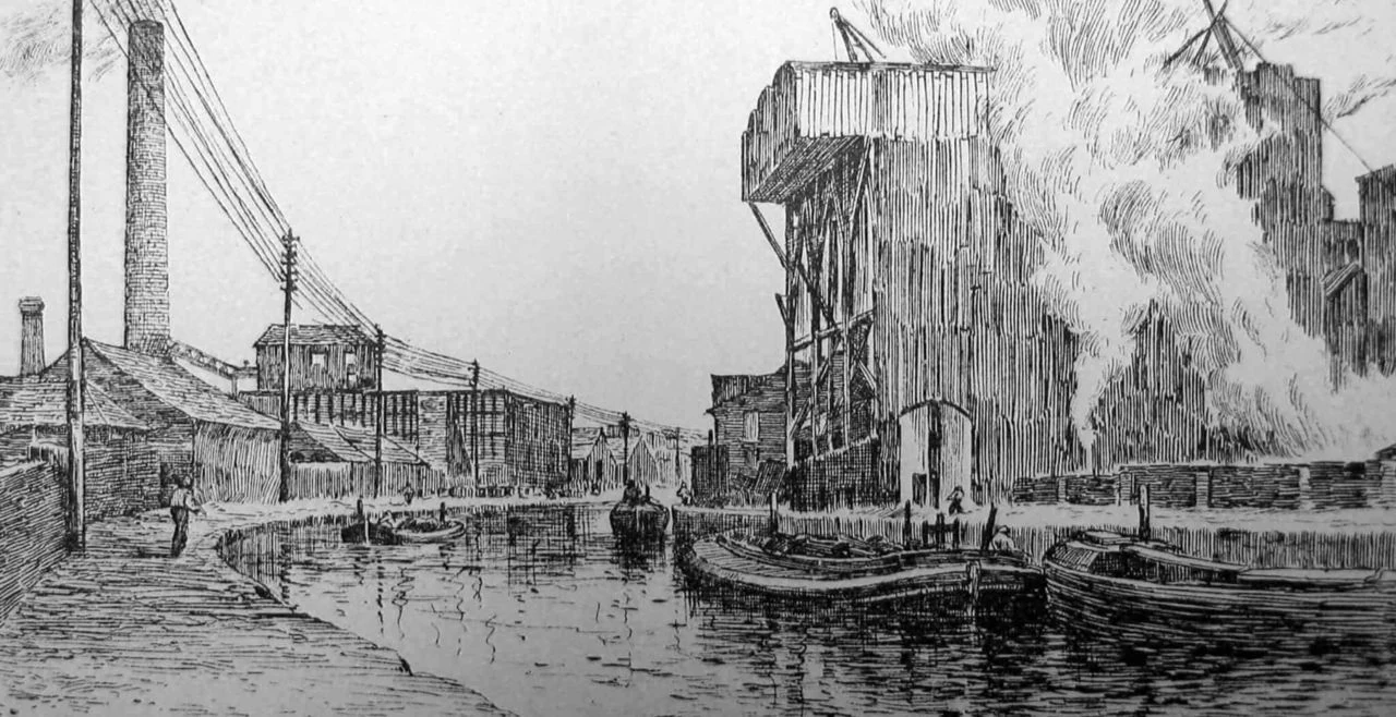
The Manchester Ship Canal was built to bring seagoing trade directly to an industrial city far from the coast. Stretching about 36 miles from Manchester to Eastham Locks on the Mersey Estuary, it offered manufacturers an alternative route for moving goods and raw materials. Its construction demanded major excavation and new waterways and structures; its opening in 1894 changed the relationship between Manchester and the sea.
A port for an inland industrial city
By the middle of the nineteenth century, Manchester had become a major centre of textile manufacturing. The city’s industrialists faced transport costs and congestion, and sought a more direct way to move goods. In 1882, industrialist Daniel Adamson proposed a ship canal that would make Manchester an inland port and reduce its reliance on charges associated with Liverpool merchants.
The proposal was more than a new waterway: it aimed to connect the city’s factories and markets to maritime traffic. Ships able to reach Manchester could bring raw materials closer to manufacturers and carry finished goods out from the industrial heartland. The canal was intended to give the city greater control over its access to trade, rather than leave that access dependent on routes through another port.
Building the waterway
Construction began in 1887 under chief engineer Edward Leader Williams. The route required extensive excavation, the construction of locks and the redirection of rivers. Around 16,000 men worked on the project over several years, moving millions of tonnes of earth and building the structures needed to carry canals and waterways across or alongside the new route.
Among them was the Barton Swing Aqueduct, which carries the Bridgewater Canal over the ship canal. It embodies the practical complexity of the undertaking: the new passage for ships had to be fitted into a landscape already shaped by waterways and other infrastructure. The canal opened in January 1894, after years of large-scale civil engineering work.
Trade and development along the route
With the canal open, ocean-going ships could travel into the Manchester area. Direct maritime access supported the movement of manufactured goods for export and raw materials for industry, while the canal also helped stimulate the development of warehouses, factories and docks along its banks. Salford and Trafford became important industrial and commercial centres within this changing landscape.
The waterway’s value was not confined to the journey between Manchester and the sea. Its route and associated facilities formed part of the region’s economic infrastructure, connecting production, storage and shipping. The canal continued to serve changing industrial needs through the twentieth century. The account of its later history describes it as still operational, with the kinds and scale of goods carried having changed over time.
Why The Manchester Ship Canal deserves a place in British Legacy
The canal deserves a place in British Legacy because it is a substantial example of infrastructure built to answer a specific economic problem. Manchester’s manufacturers wanted a more direct route to maritime trade; the ship canal linked an inland industrial centre to the sea and provided a way to move both exports and incoming raw materials. Its significance lies not simply in its scale, but in how that scale served a clear regional purpose.
Its construction also joined engineering and economic change. Excavation, locks, redirected rivers and the Barton Swing Aqueduct made the route possible, while docks, warehouses and factories developed along its banks. The reported workforce of around 16,000 conveys the size of the undertaking, and the canal’s continuing operation connects that Victorian project with later industrial needs. Together, these details make the ship canal part of Britain’s industrial and engineering history: a long-built route that altered access to trade and helped shape development around Manchester.